Earth Scan Lab satellite imagery and hurricane tools

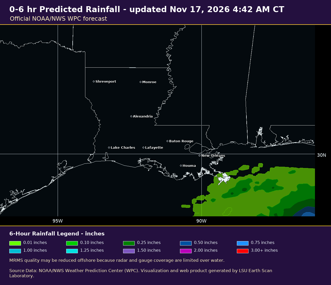

Weather & Hazards
True Color Imagery
Storm & Event Archives
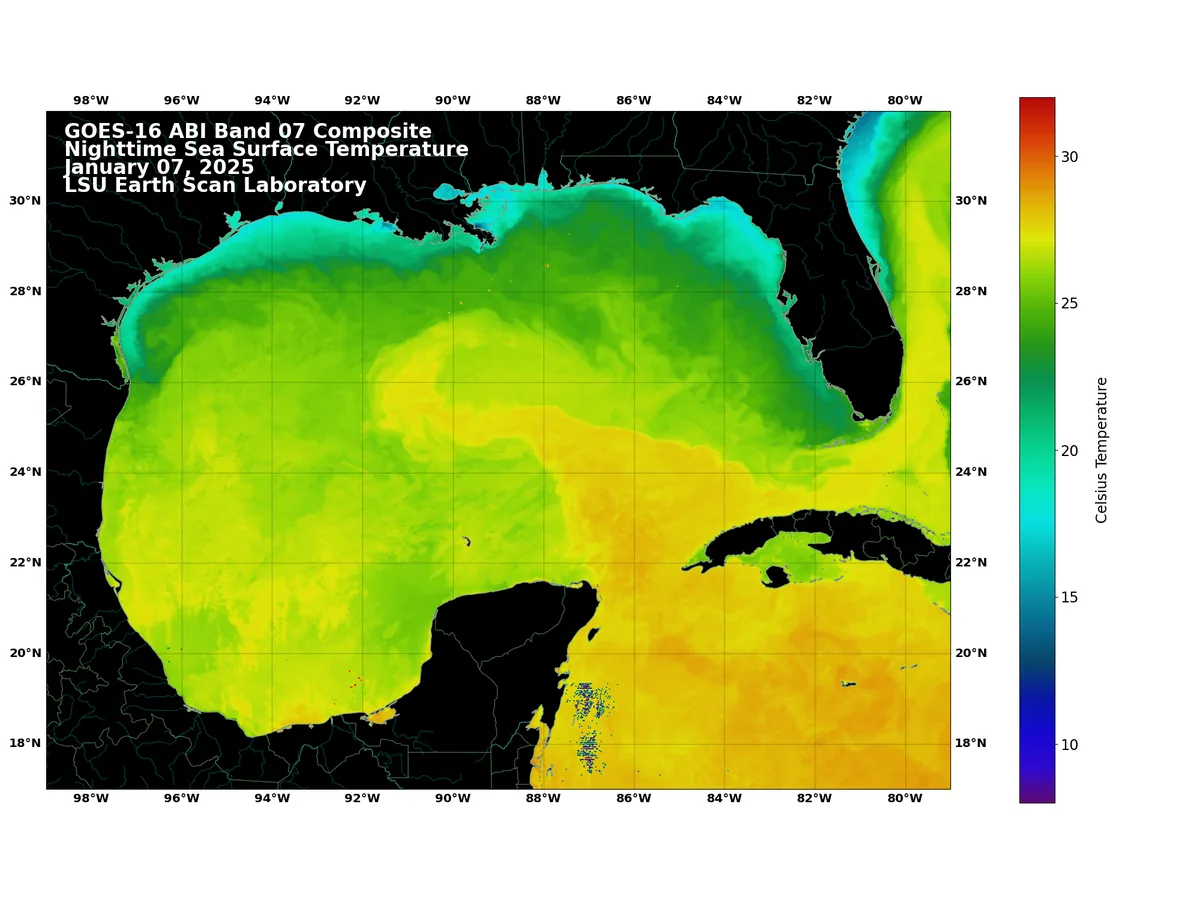
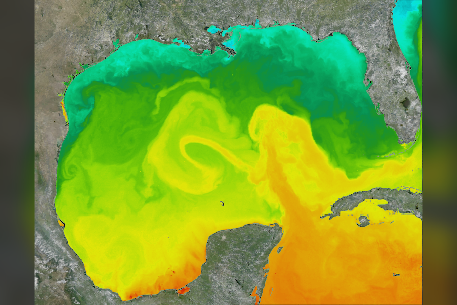
GOES-19 Sea Surface Temperature Images
View or build your own custom SST animations
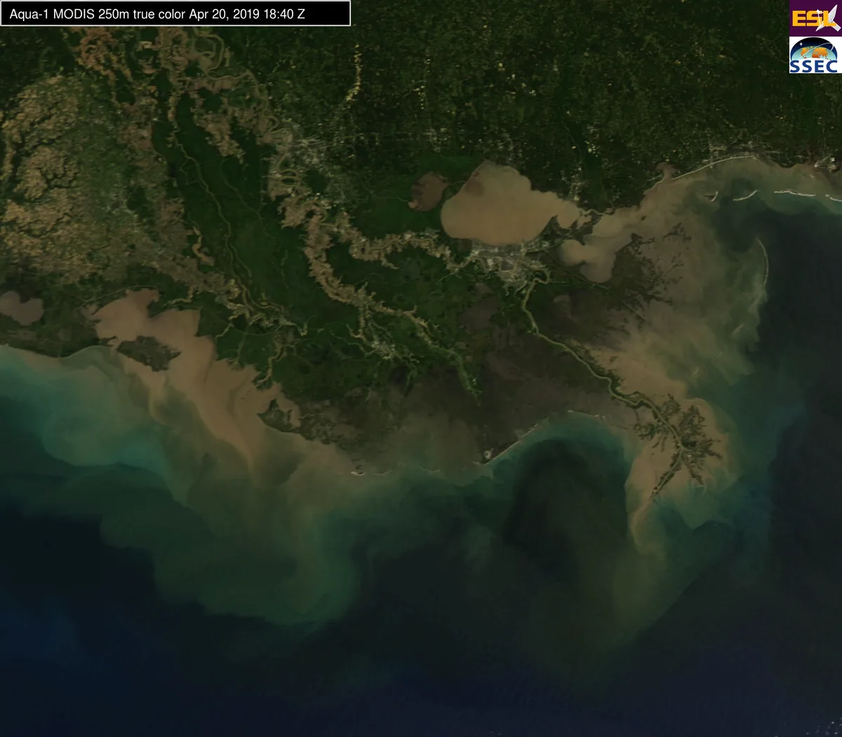
MODIS Truecolor Coastal Images
View or build your own custom MODIS animations
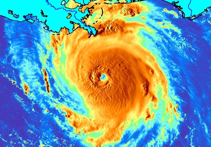
Historical Events: Hurricanes, Floods, and Loop Current
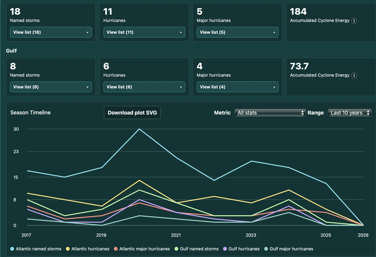
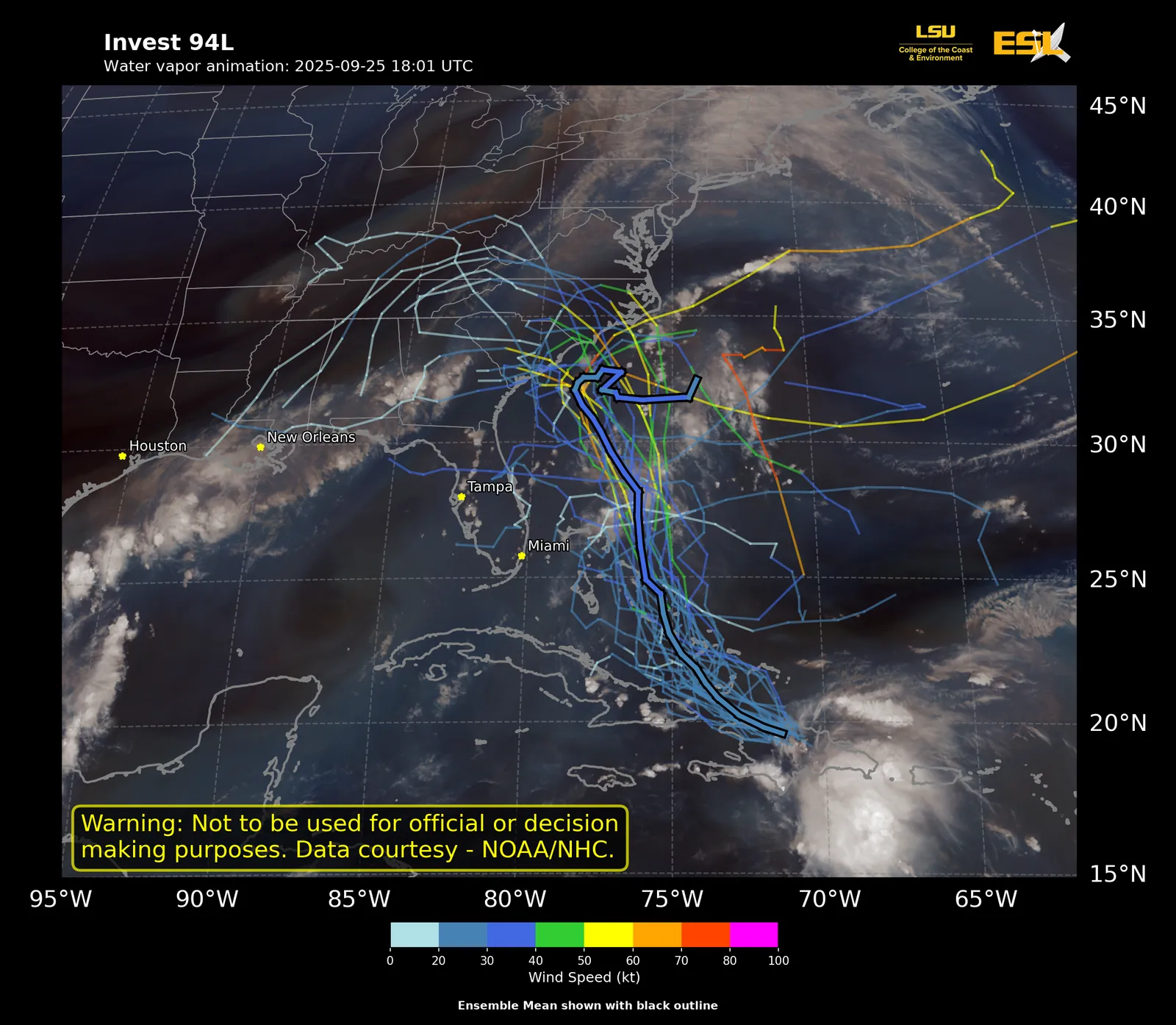
Hurricane Activity Dashboard
View live storm status and seasonal statistics
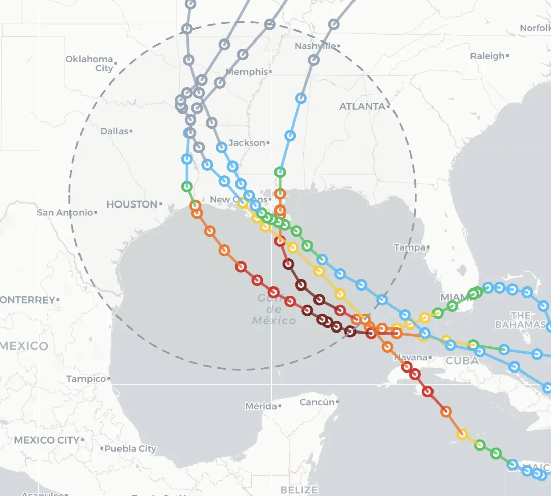
Hurricane Explorer: Study and Animate past hurricanes
Compare hurricanes, view tracks, and focus on custom regions
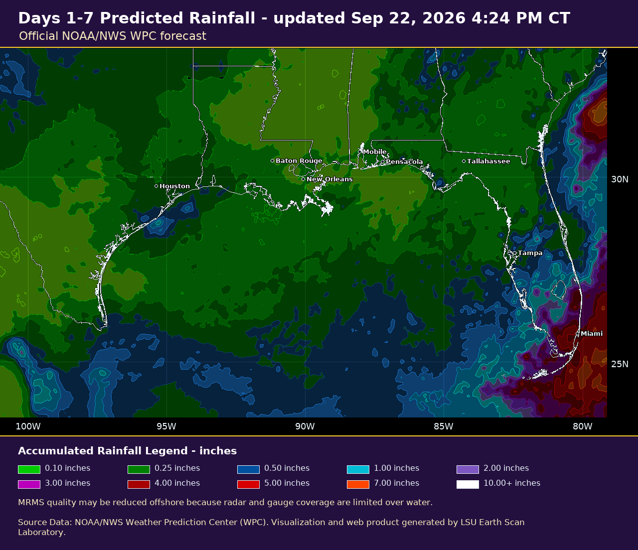
ESL Rainfall Dashboard
Compare current radar, recent rainfall estimates, and official WPC rainfall forecasts
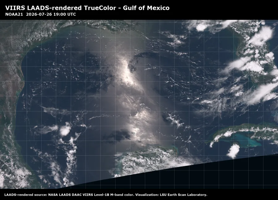
VIIRS True Color Coastal Images
Explore daily NOAA-21, NOAA-20, and Suomi-NPP VIIRS True Color imagery
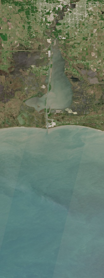
Sentinel-2 Coastal TrueColor Images
Explore selected high-resolution Sentinel-2 coastal imagery
Featured Imagery & Events
Live products, research highlights, and gallery selections

Have an idea for a new Earth Scan Lab tool or product? Let us know.